Ross Sea
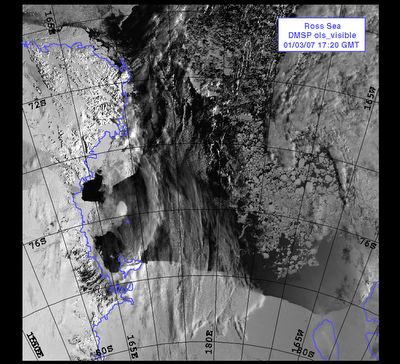
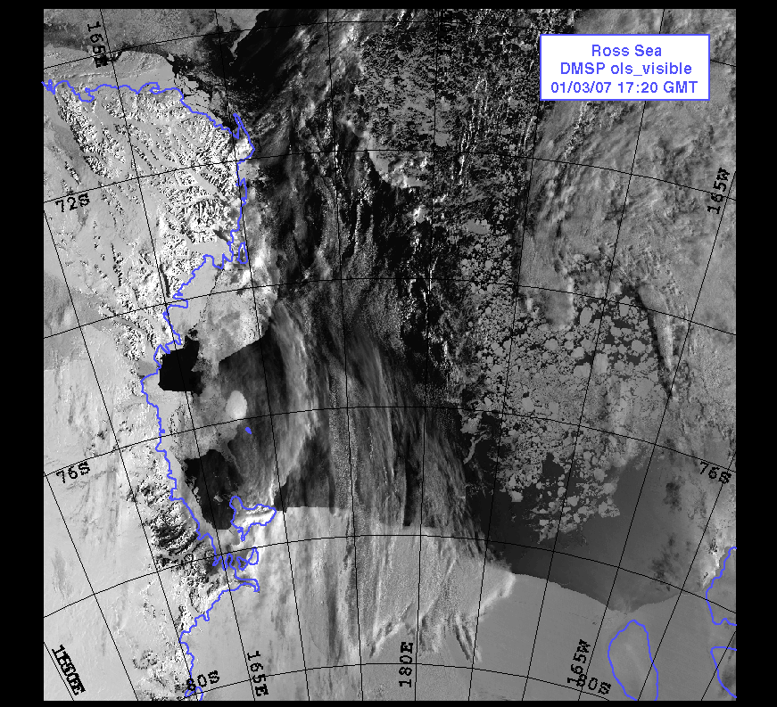
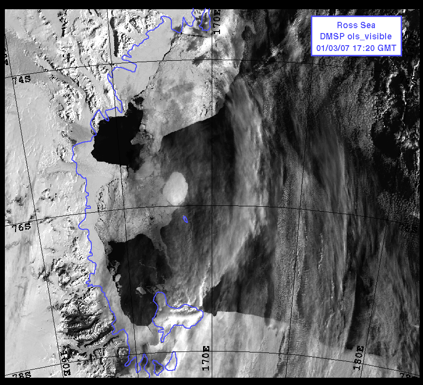
Satellite photo of the Ross Sea. Ross Island is outlined in purple between parallel 76S, 78S and 165E, 170E. In the photo, McMurdo station and Scott Base are located on the lower end of the island. As you can see, the ice edge is close!

posted by chubalicious at 2:37 AM
![]()


0 Comments:
Post a Comment
<< Home